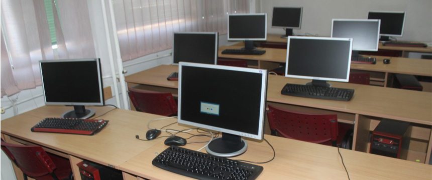
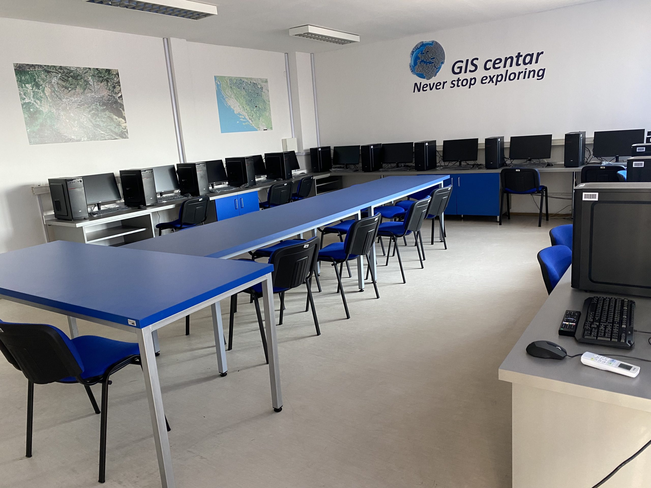
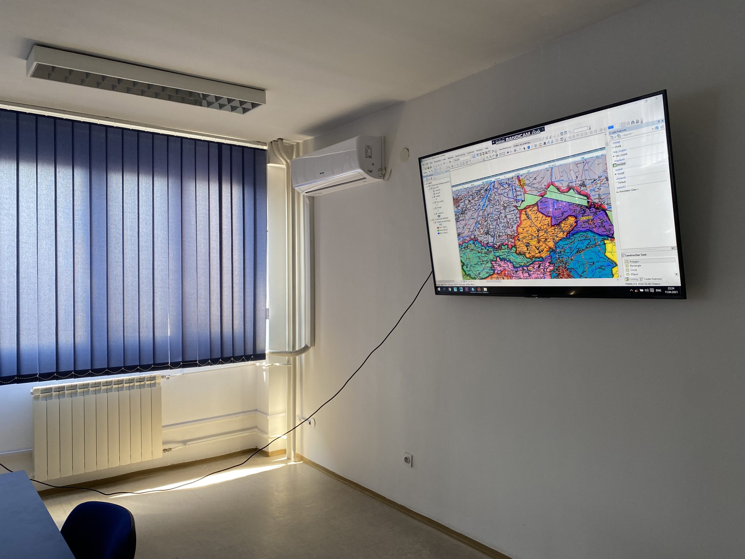
The GIS center at the Department of Geography is modernly equipped to provide training on GIS software, remote sensing, modeling of spatial phenomena and processes, and their 3D and 2D visualization. The application of GIS in geographical and other sciences, as well as in spatial planning, has practically become an irreplaceable part of modern everyday life. The highly skilled teaching staff of the Department of Geography with the application of the most modern technologies enables students to be educated about the numerous possibilities of applying GIS technology for various aspects of modeling spatial phenomena and processes, as well as solving growing conflicts in space. This process in the GIS Center includes the identification of criteria, data collection, and creation of a GIS spatial database for selected criteria, their further evaluation, formation of decision matrices, analysis and validation of aggregation results, and ultimately GIS visualization, with recommendations for further activities.
Students in the GIS Center discover and improve methods of detection, analysis, monitoring, manipulation, and visualization of spatial data. Based on a number of input criteria, users of the GIS Center create precise digital maps that enable the synchronization of various branches of science and profession, as well as optimization and acceleration of work processes. The center also provides GIS training services – courses and other contractual services, including user, needs analysis, customized GIS programming, customized mapping of spatial content, etc.

Listed below are some of the numerous possibilities of GIS applications that are implemented in the GIS Center of the Department of Geography:
- Mapping of spatial content, visual interpretation, and geoprocessing of spatial data;
- Creation of extensive databases, their processing, and geovisualization;
- 3D visualization and optimization of spatial content;
- Regional planning and monitoring of spatial plans;
- Urban planning, analysis of urban growth and its direction of expansion, and finding suitable places for further urban development;
- Management, monitoring, and analysis of natural resources;
- Selection of the most favorable locations for the construction of various infrastructure facilities;
- Planning and selection of the most optimal transport routes based on various criteria
- Environmental Impact Analysis;
- Analysis of hazards, natural disasters, and conflicts in space and mitigating their consequences;
- Landslide risk zoning by the process of ranking different parts of the area according to the degree of real or potential risk of landslides;
- Land mapping – identification and classification of land cover and definition of its boundaries;
- Mapping of geological features analysis of soil and strata, evaluation of seismic information, creation of three-dimensional (3D) representations of geographic features;
- Tourism planning with techniques and technologies of wide application to achieve sustainable development of tourism;
- Monitoring and planning of energy and water supply systems;
- Mapping of forest fire danger zones;
- Creation of navigation maps;
- Detection and monitoring of deforestation;
- Reduction of desertification and land degradation due to climate change or human activities;
- Data processing for various types of utility services such as electricity, telecommunications and natural gas – mapping, inventory, compliance monitoring, distribution analysis, load analysis, etc.;
- Visualization and planning of public infrastructure facilities and response in emergency situations and disasters;
- Collection of data on the spatial-temporal correlation between the concentration levels of different types of pollutants and the occurrence and spread of diseases.
- Precise selection of the most optimal route of pipelines and oil pipelines, which contributes to the minimization of economic losses and negative impacts on the environment;
- Suitability of sites for waste treatment facilities by integrating different data sets;
- Locating underground pipes and managing the processes of failures in the water supply network;
- Formation of digital cadastral databases;
- Mapping and conservation of flora and fauna;
- Snow cover mapping and runoff forecasting, monitoring of seasonal and annual snow cover changes under existing climate conditions, runoff simulation and forecasting, mapping of the regional distribution of water equivalent, and documenting the process of snow cover recession during melting in relation to the geological characteristics of the area;
- Management, analysis, and visualization of data on protected areas and numerous other possibilities.


